Last month I was headed south of Charleston on the wrong weekend for efficient motorhome travel. This tends to produce adventures. I'd left Whiteville NC in torrential rain, headed for Surfside Beach SC. There were times I was driving 5 mph because I couldn't see to go faster, and hoping no one was going 10 mph behind me. I spent the night in Surfside Beach, and while I slept the wind blew the rain out to sea. On the road again.
The wind everywhere along the SC coast was horrendous. I don't ever remember actually trying to drive through wind that strong for that long, and just going from Surfside Beach through Georgetown had exhausted me. I was driving a sail and I needed to rest. Hmmm... Frances Marion State Park..... Historical marker.... Hampton Plantation, next right. Sounds like a winner.
Driving a road sheltered by trees was a major relief. I parked in the parking lot and checked the weather report on my Palm Treo. Wind all day. Darn. I made and ate lunch.
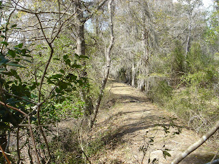
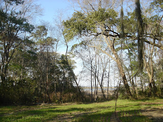
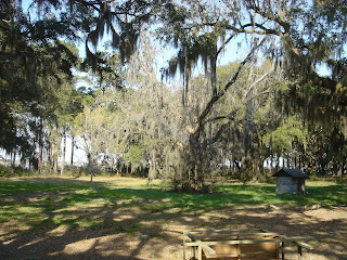
Next, I got out and investigated the grounds
 and toured the plantation house.
 This Lowcountry plantation used to grow rice.
 Rice fields have to be built absolutely level and so they can be flooded and drained at appropriate times.
Very labor intensive. Of course, the labor was slave labor,
 and the rice industry went down the tubes after the civil war. Hampton Plantation was also, later, the home of Archibald Rutledge, SC's Poet Laureate.
At Hampton Plantation, I was told about the Santee Coastal Reserve,
which is not far away off the other side of Route 17.

This 24,000 acre reserve is a haven for wildlife. There are nature trails, a canoe trail, and a bike/hiking trail.

There's a campground back in there, too. Their internet site says you need a permit. I dropped in but didn't stay - that's for another time.

Took lots of pictures, though - I'm a sucker for moss-hung oaks.
 These are things I would have missed if the wind hadn't been so awful.
Further along Route 17, approaching Mt. Pleasant, I began to wonder what the little stands were along the highway - small stands, not being used. And I noticed that in that area Route 17 is called Sweetgrass Basket Makers Highway. And then I saw occupied stands, even in that wind. I stopped at one to investigate. Lots of beautiful, beautiful baskets made of coiled grasses.

 On days with better weather, most all the stands are occupied. Traditional sweetgrass basket makers, who practice a craft handed down through their families since the 1700s, have been selling their wares along Route 17 north of Mt. Pleasant, SC since the 1930s. The baskets were originally made for winnowing rice, but have evolved to the beautiful and useful household baskets of today.
I stopped in Mt. Pleasant, did my laundry and spent the night. NO WAY was I driving a motorhome over the bridges at Charleston in that wind.
No comments:
Post a Comment
Sorry about the word verification, but I've had a lot of spam lately. It's all by "Anonymous" so "Anonymous" can't post any more. All comments to this blog are moderated. If you post spam it will do you no good. Comments from my actual readers are welcome and appreciated.